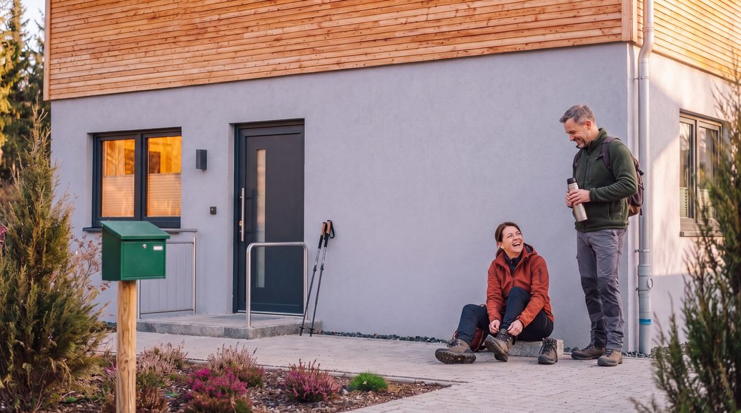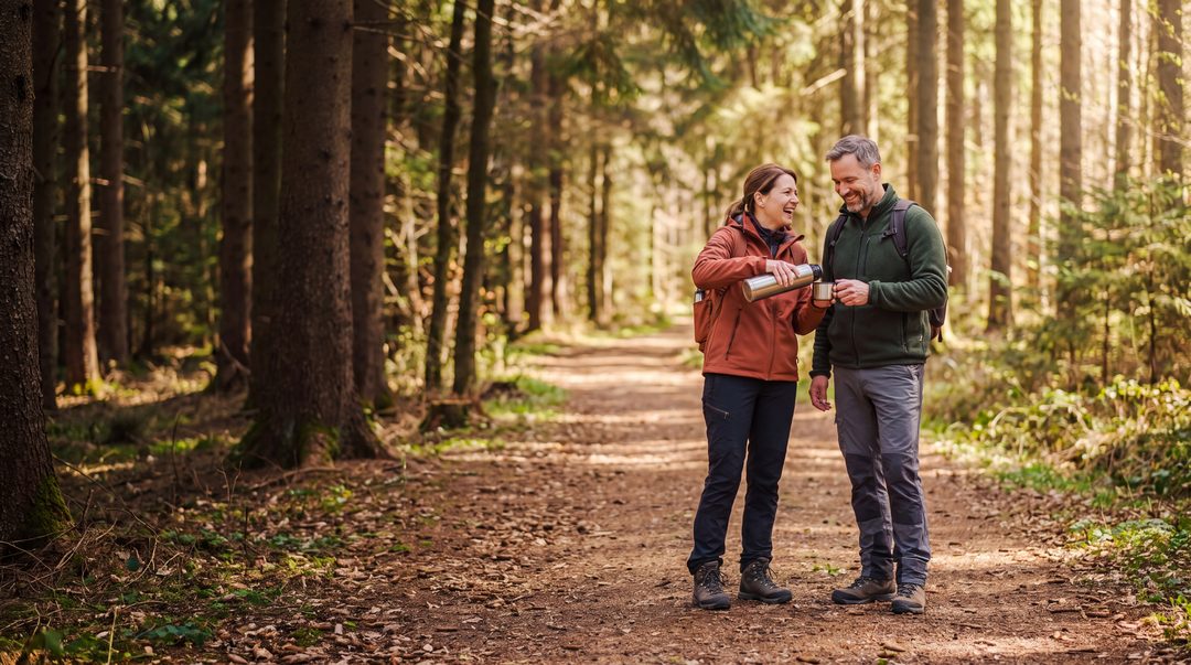

Just get started.
A walk through the woods, a break by the water. Around Hahnenklee, you’ll find routes for short walks and long days out.
Which route would you like to do today?
Sorted by walking time. The times are calculated from the specified starting point – excluding breaks and the walk from the chalet. The route description and map open in a new tab at Hahnenklee Tourismus.
No tour matches this selection. Please choose a different walking time or difficulty level.
-
Upper Grumbach Valley circular walk (opens an external website)
Via the Fairy Tale Trail to Bockswiese and back to the Stave Church along the Grumbach Ponds.
- 4.3 km
- approx. 1 hr 15 mins
- Difficulty: easy · approx. 71 m ascent
Circular walk starting from the Gustav-Adolf Stave Church.
-
Schalke circular walking trail (opens an external website)
Through the woods to the Schalker observation tower and back, with a view of the Großer Kellerhalsteich.
- 5.5 km
- approx. 1 hr 45 mins
- Difficulty: moderate
Circular walk starting from the car park at Auerhahn.
-
Liebesbankweg (opens an external website)
The well-known circular walk past the Bocksberg to the ponds, with benches and views along the way.
- around 7 km
- approx. 2½ hours
- Difficulty: easy · approx. 140 m ascent
Circular walk starting from the large car park by the stave church.
-
Hexenbank circular walking trail (opens an external website)
From the village centre via the Hexenbankweg and the Pochwerkplatz, then back via Rathausstraße.
- 7.3 km
- approx. 2 hours 30 mins
- Difficulty: moderate
Circular walk starting from Hindenburgplatz near the tourist information centre.
-
Via the Bocksberg to Goslar (opens an external website)
Up the toboggan run to the Bocksberg and down the Alte Harzstraße to Goslar.
- 8.9 km
- approx. 2 hrs 45 mins
- Difficulty: moderate · approx. 181 m ascent
An easy walk from the large car park by the stave church. Plan your return journey separately, for example by bus.
-
Oberharzer Teiche circular walking trail (opens an external website)
Through the Spiegeltal valley to Zellerfeld and back past the ponds of the Upper Harz Water Authority, with views of the Brocken along the way.
- 10.7 km
- approx. 3 hours
- Difficulty: moderate · approx. 221 m ascent
Circular walk starting from the stave church in Hahnenklee.
-
Circular walking route to Wildemann (opens an external website)
Via Bockswiese and the Spiegeltal valley to Wildemann, then back through the Grumbachtal valley, past the Kuttelbacher Teich.
- 13.3 km
- approx. 3 hrs 45 mins
- Difficulty: moderate · approx. 219 m ascent
Circular walk starting from the stave church in Hahnenklee.
-
Via the Schalke to the Rammelsberg (opens an external website)
Up the slopes and along steep hillsides to the Rammelsberg World Heritage Site in Goslar.
- 13.6 km
- approx. 4 hours
- Difficulty: difficult · approx. 194 m ascent
An easy walk from the large car park by the stave church. Return by bus – line 830, according to the tour description.
Google Maps guides you via the tour’s waypoints. The exact route is shown on the tour page.
Plan your route according to the weather, your fitness level and any current trail closures. For longer walks, make sure you have sturdy shoes, water and a map.
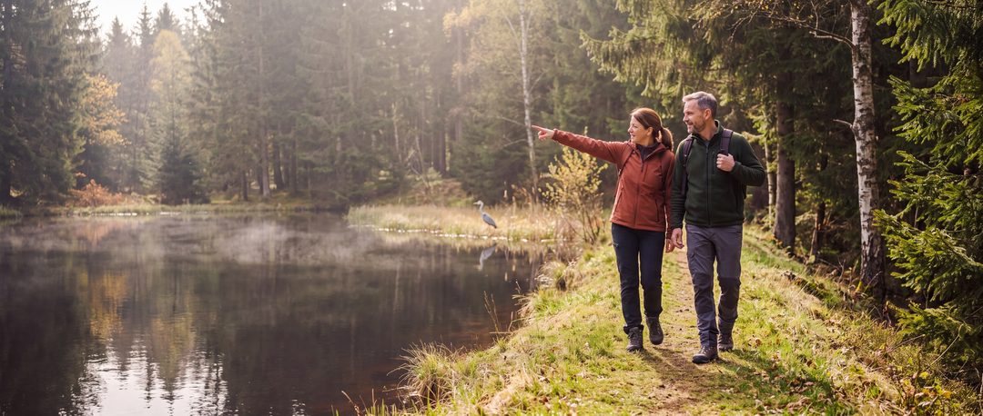
More hiking ideas.
Destinations without a fixed route. The duration and route depend on where you start.
- BocksbergTake the cable car or walk up Hahnenklee’s local mountain. (opens an external website)
- Upper Harz Water ManagementWater walking trails to ponds and ditches within the UNESCO World Heritage Site. (opens an external website)
- Kuttelbach PondA bathing spot in the World Heritage Site, ideal for a break by the water. (opens an external website)
- Routes to the BrockenThe hikes start, for example, in Torfhaus or Altenau, not in Hahnenklee. (opens an external website)
- Harzer WandernadelCollect stamps on your walks. (opens an external website)
- Waterfalls around GoslarCollection on Komoot, viewable without logging in. (opens an external website)
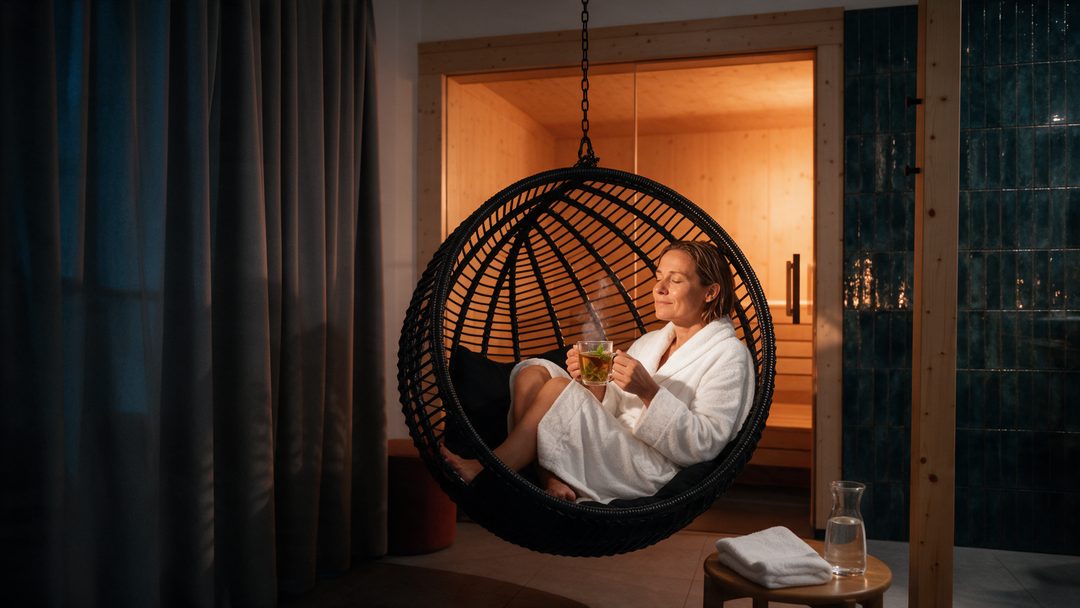
More moments from Hahnenklee.
A glimpse inside the chalets and around Hahnenklee: @hahnenklee.chalets